
Methane traps heat and has caused about a quarter of warming from human activity. Because it leaves the air relatively quickly, cutting it is a fast way to slow further warming. More than 125 countries have pledged a 30 percent cut by 2030. Many of the cheapest cuts come from small, local sources at oil and gas sites, farms, and landfills.
NASA’s EMIT instrument on the International Space Station was built to map minerals, but it also records hundreds of wavelengths of light in every pixel. That record carries a chemical fingerprint of methane. EMIT views a strip about 80 kilometers wide at 60-meter resolution, which is fine enough to see leaks at the scale of a single facility.
Training on simulated plumes and testing on real scenes
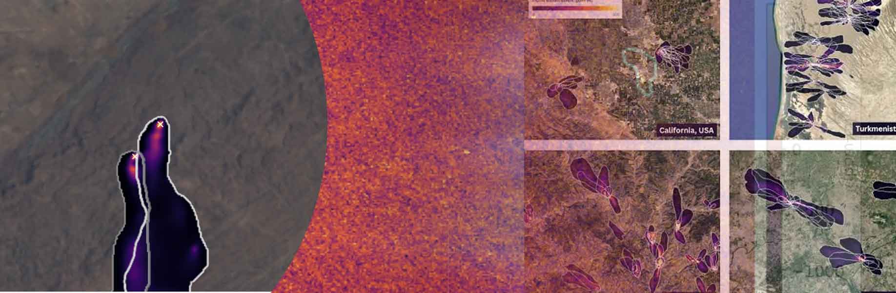
Google Research has developed MAPL-EMIT - a vision transformer, a computer-vision model that looks at a whole scene instead of one pixel at a time. It estimates how much extra methane sits in each pixel, draws the outline of each plume (a wind-blown trail of gas), and traces that trail back to a source. Because millions of labeled real plumes do not exist, 3.6 million synthetic plumes were built with Lagrangian puff models, which treat the gas as moving puffs of particles, and then inserted into real EMIT scenes so the model could learn many terrains, wind patterns, and leak sizes.
On NASA’s expert catalog the model recovered 84 percent of known plumes and flagged about 50 percent more plausible ones across roughly 1,100 satellite scenes. It found plumes at 24 of the world’s 25 largest-emitting landfills. False alarms remain, especially over complex ground. Each detection therefore carries a physics-based confidence score and a simple higher or lower tag so users can choose how strict to be. The trained model, a global plume database, the simulated plumes, and inference code are public on Earth Engine, Kaggle, and GitHub. Planned spectrometers are expected to collect 30 to 50 times more imagery, which makes automated reading of these scenes more important if facility-scale leaks are to be found in time to fix them.