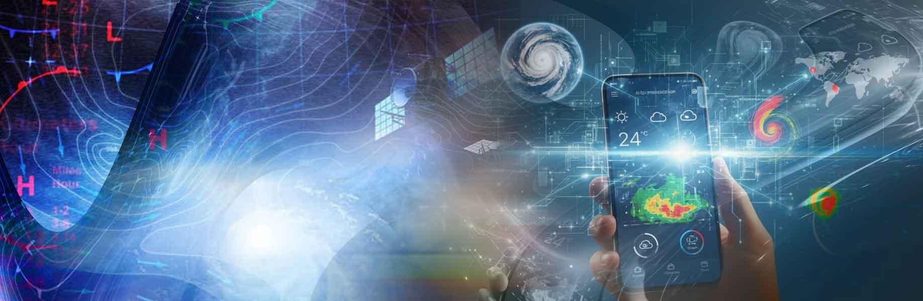
Google DeepMind and Google Research have released WeatherNext 3, their newest artificial intellicence (AI) - powered global weather model. Independent live checks call it the most accurate global model so far. It writes a new forecast every hour. Near the ground it can show temperature and moisture on a five-kilometer grid. Other surface fields are drawn at ten kilometers, and winds higher up at twenty-five kilometers. That is about five times sharper than WeatherNext 2, which used a twenty-five-kilometer grid and updated only every six hours.
Most earlier AI weather models learned from numerical weather prediction, meaning large physics simulations run on supercomputers. Those runs often lag the real sky by about six hours and can blur sudden rain or local heat. WeatherNext 3 instead takes in a mosaic of live pictures from geostationary satellites. A geostationary satellite stays over one part of Earth and watches the atmosphere all day, so each hourly forecast can start from the newest images.
Learning from the ground as well as the sky
The model also trains on weather-station readings, which are scattered points rather than a full grid. That helps the five-kilometer maps follow coasts, valleys, and mountains. Google says this matters most in parts of Latin America, Africa, and the Asia-Pacific, where fine local models have been costly to run. The model predicts winds at about 100 meters, near the height of many turbines, and also cloud cover and sunlight at the ground, so wind and solar plants can estimate how much power they will make.
Rain and snow have long been hard because clouds change on small scales. WeatherNext 3 is trained on NASA’s IMERG satellite rain maps and on a precipitation reanalysis, a reconstructed history of rain built from satellite radar. Tests of forecasts several days ahead show large gains over the previous model. In Search, Gemini, and Maps, people planning a day or more ahead may see rain forecasts up to 50 percent more accurate, especially where older forecasts were weak. The authors say that learning from satellites and stations, not only from simulations, brings forecasts closer to weather on the ground.