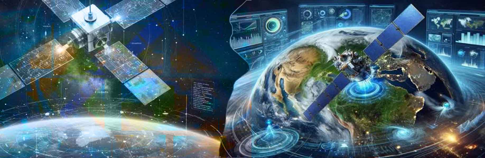

Satellite Earth observation company Planet is working to create what it calls Planetary Intelligence. This is a system that watches Earth from space and uses artificial intelligence (AI) to spot and explain important changes almost as they happen. The company has years of daily pictures taken by its satellites all over the world. In the past, people studying things like deforestation in places such as the Amazon had to search through large amounts of these pictures by hand and use special computer programs. The new goal is to make the same work much faster and open to more users through simpler tools.
Large Earth Models are a central idea in this effort. These are artificial intelligence systems trained on satellite pictures of the physical world rather than on written text. They can learn what normal changes look like and what counts as a meaningful shift that might need action. The company sees this as a way to support quicker decisions about land, resources, and risks.
New ways to interact with satellite data
Planet is placing AI in different parts of its work. On the satellites in orbit, small computer chips now allow some picture analysis to happen directly in space instead of waiting for data to reach the ground. This reduces the time until useful results are ready. On the ground, AI helps sharpen the pictures so details stand out more clearly for human eyes. The company is also turning the daily flow of pictures into a searchable map of the whole planet using special number patterns that computers can compare quickly.
A new agentic artificial intelligence tool is being tested in a limited way. Users can type plain questions, such as asking where forests have been cut down in a certain country. The system then finds matching satellite pictures, shows how the area changed over time, and adds helpful facts from public sources. It can also measure sizes of buildings or other features. The tool aims to let people without years of special mapping training get clear answers about land use, supply chains, or preparing for disasters.
These changes build on partnerships with technology companies and the purchase of a geospatial artificial intelligence business. The overall direction is to turn the constant stream of satellite pictures into insights that more organizations can use to respond to changes on Earth.