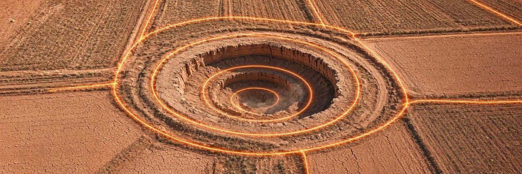

Large areas of California's Sacramento Valley aquifer abruptly transitioned from reversible to permanent compaction during the 2020–2022 drought, with subsidence rates exceeding several decimeters per year beyond what groundwater monitoring networks predicted, according to a study published in PNAS.
Researchers led by Stacy Larochelle of UCLA combined Sentinel-1A/B satellite interferometric radar data with groundwater level records from 2016 to 2022 to track ground deformation across the Sacramento Valley. Between 2016 and 2020, the aquifer responded poroelastically where the land compressed when water levels dropped but rebounded when levels recovered. In 2021, that pattern broke across broad areas. Subsidence accelerated sharply, exceeding inferred poroelastic rates by several decimeters per year, a signal that aquifer sediments had entered inelastic compaction proving a permanent collapse of pore spaces.
The transition was not anticipated from groundwater monitoring records alone. The Sacramento Valley stretches approximately 150 miles across the northern Central Valley and produces roughly 21% of California's irrigated field crops. The U.S. Geological Survey identifies groundwater pumping as the primary cause of land subsidence in California, noting lasting effects including permanent aquifer damage, infrastructure damage, and increased flood risk.
Advances in AI-driven analysis of satellite imagery are making Earth observation data more useful for monitoring environmental changes, with systems like Aquila improving how computers interpret remote sensing images for tasks such as tracking crops and managing disasters. Separate reporting has documented how AI-powered precision irrigation platforms already use satellite and weather data to reduce agricultural water use by up to 30% in water-stressed regions, underscoring both the potential and the urgency of the Sacramento Valley's aquifer loss.
Data on the total volumetric loss of groundwater storage capacity in the Sacramento Valley was not reported in the paper. As Larochelle told Courthouse News Service, losing permanent storage capacity "means we're going to have less groundwater in the future. That's a major problem under climate change because we're going to be relying on groundwater more".